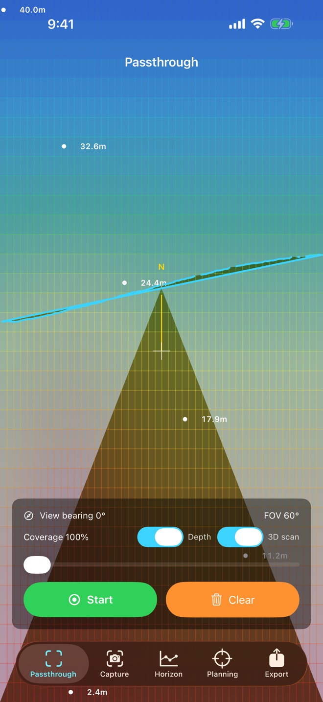
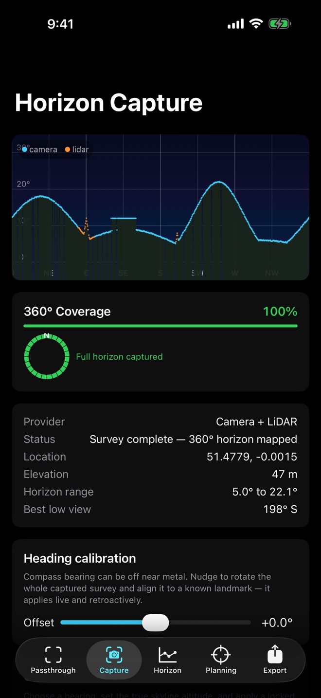
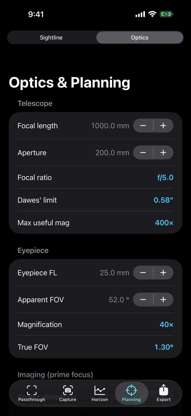
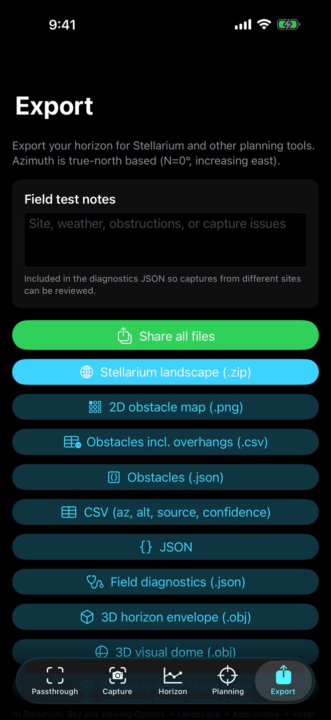
Guided 360° capture
Coverage and confidence guidance points you toward weak or missing sectors.

iPhone horizon surveyor
Sweep around an observing site to map terrain, rooftops, trees, poles, eaves, and nearby structures. Skyfence turns those observations into a revisable horizon profile and inspectable 3D visual dome for astronomy planning.
Built for real sites
Skyfence keeps uncertain and unscanned areas visible instead of inventing a complete horizon.
Coverage and confidence guidance points you toward weak or missing sectors.
Supported Pro iPhones combine camera evidence, scene depth, and ARKit mesh geometry.
Clear rescans can remove stale obstacles while manual corrections remain under your control.
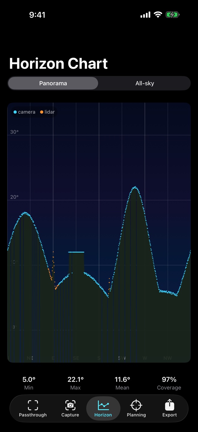
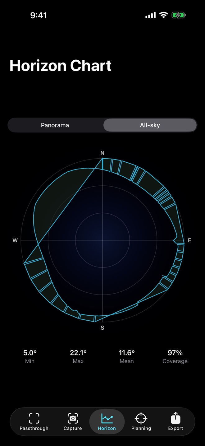
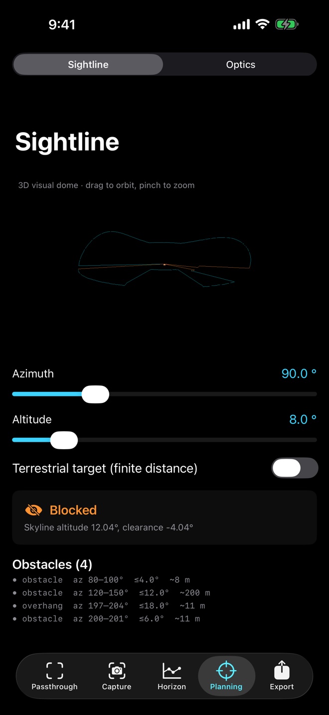
Profile and all-sky charts preserve gaps, confidence, source, distance, and overhang information.
Orbit the reconstructed site and trace a synchronized planning ray through the corrected model.
Export notes, sensor quality, thermal events, coverage, Vision timing, geometry, and diagnostics JSON.
Private by design
Camera, LiDAR, motion, and location observations are processed on device. Skyfence has no account, advertising, analytics, or developer-operated upload service. You decide if and when to share an export package.
App Store captures